 B
B
arnett Reservoir is a reservoir of the Pearl River between Madison and Rankin counties in the U.S. state of Mississippi. The 33,000-acre (130 km2) lake serves as the state’s largest drinking water resource, and is managed by the Pearl River Valley Water Supply District. The lake features 105 miles (169 km) of shoreline impounded on the south by a 3.5-mile (5.6 km) man-made dam and spillway. The western shore is bounded by the historic Natchez Trace Parkway.
The Ross Barnett Reservoir is managed by the Pearl River Valley Water Supply District (PRVWSD), an agency of the State of Mississippi. In addition to recreation, the reservoir serves as the primary source of drinking water for the City of Jackson’s O. B. Curtis Water Treatment Plant. Water released into the Pearl River is monitored and controlled from an electrical/mechanical spillway and gate system that is part of a man-made earthen dam comprising most of the lake’s southern shore. The maximum output of the 10-gate spillway is 170,000 cubic feet per second (cfs). The guaranteed minimum flow was not included in the statute creating the reservoir, but the 173 cfs flow was included in the operational permit.[12] The final design of the reservoir could not be purposed as a flood control project.[13] The target elevation for the lake is 297.5 feet (90.7 m) above sea level in the summer; 297.0 feet (90.5 m) in the winter. The average depth is 11 feet, water clarity is 2 feet with occasions of 8 feet, and the water color is stained. The lowest pool level in the last eight years was 294 feet MLS according to a 1996 boating map, but the lowest pool was 293.68 feet according to federal data for 2000. Drought conditions occurred in 2007 prompting local concerns. Seismic tests were performed 80 feet below the surface of the reservoir in the fall of 2012 by an energy company.
Recreation
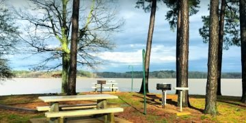
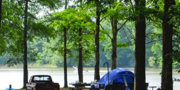
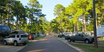
Each year over two million people visit the Ross Barnett Reservoir for outdoor recreation: types include boating, fishing, water-skiing, and camping. There are five campgrounds, 16 parks, 22 boat launches, three handicapped-accessible trails, two multi-purpose trails, and a mountain bike trail which meanders near Mule Jail Lake. Two state records come from the reservoir: Smallmouth buffalo (57 lbs 12 oz) and Bowfin (18 lbs 14 oz). In 1974 a state record Paddlefish of 65 lbs was caught at the spillway. In 1978 the Bassmaster Classic World Championship was held at the reservoir. In late March 2019 fishermen reported abundant and large Black crappie when normally White crappie are the main catch.
All New Interactive Map of
Barnett Reservoir
Crappie Fishing Hot Spots
Barnett Reservoir offers some of the state’s best crappie fishing. Both white and black crappie can be caught anytime of the year. The majority of black crappie can be found in the upper reservoir area between Highway 43 and the Low Head dam.
Experience some of the best crappie action during the spring months as crappie move into shallow areas to spawn. Using jigs and/or minnows anglers can catch these fish in locations such as Cane Creek, Oil Well Woods, the cove behind the Old No. 7 channel marker and Plummer Slough located in Pelahatchie Bay. During the early spring months fishing the edges of the river channel can produce quality catches as crappie stage just before moving into shallow waters.
During the summer months crappie will move into deeper water, and prefer to hold near deep structure. Start fishing 8-10 feet deep then deeper as the sun rises in midday. Look for crappie in the old oxbow lakes such as Three-Prong Lake, Saddle Bags, and also Big Lake near Brown’s Landing. In the south end, fish the old lakes near Rose’s Bluff. The creek channel in Pelahatchie Bay is also a popular spot.
Fall and winter fishing is popular in the Welfare Hole just south of the Hwy 43 bridge and the Pelahatchie Bay Causeway bridge. The Welfare Hole is a real hotspot if water is moving through the bridge. As the water temperatures fall fish will move deeper and presentations should become slow as the fish become inactive. Deeper waters along Rose’s Bluff and the main dam can also be great areas for deep water crappie during the winter months. The key to finding crappie is to find deep structure.
Up Coming Tournaments & Events
On Barnett Reservoir
LAKE INFORMATION
LOCATION: This lake is located six miles northeast of Jackson, MS and extends through Hinds, Rankin, Madison, Scott, and, Leake counties.
SIZE: 33,000 acres
DEPTH: Depth Varies from 12 to 60 feet
AQUATIC VEGETATION: Alligatorweed, Waterhyacinth, & Hydrilla
MAJOR SPORTFISH: White Crappie, Black Crappie, & Magnolia Crappie, Hybrid Striped Bass, Bream, & Catfish
FISH FORAGE: Threadfin Shad, & Gizzard Shad
VISIBLE COVER: Cypress Trees, Stump Fields, Rip-Rap
BOTTOM FEATURES: Sunken Christmas Trees, Drop-Offs, Channels
LAKE CRAPPIE RULES
& REGULATIONS
LENGTH LIMIT: No Size Limit
CREEL LIMIT: 30 Crappie Fish
POLE/HOOK LIMIT: No Pole Limits Per Angler or Number of Hooks Per Pole Limit
Featured Businesses:
Destination Articles:
Local and Professional Fishing Tournaments on the “Rez”
Ridgeland, MS “It’s great to have the American Crappie Trail among others here in Ridgeland, Mississippi,” says Mina Thorgeson, Ridgeland...

Mouse Over An Image
To Learn More About It

Welfare Hole
N32 30.503 x W89 56.503
“It’s a big current-break area,” said Crappie Guide Brad Chappell. “It’s a deep hole within the old river channel. Look for crappie to hold to the edge of the channel.”

Highway 43 Bridge
N32 30.816 x W89 56.387
Over a mile of rip-rap on either side of the bridge structure will help warm the water, but the highest concentrations of crappie, and crappie fishermen, will be under the bridge overpass that spans the Pearl River channel. All of the crappie that migrate from the lower lake to the upper lake must pass through this narrow passage.
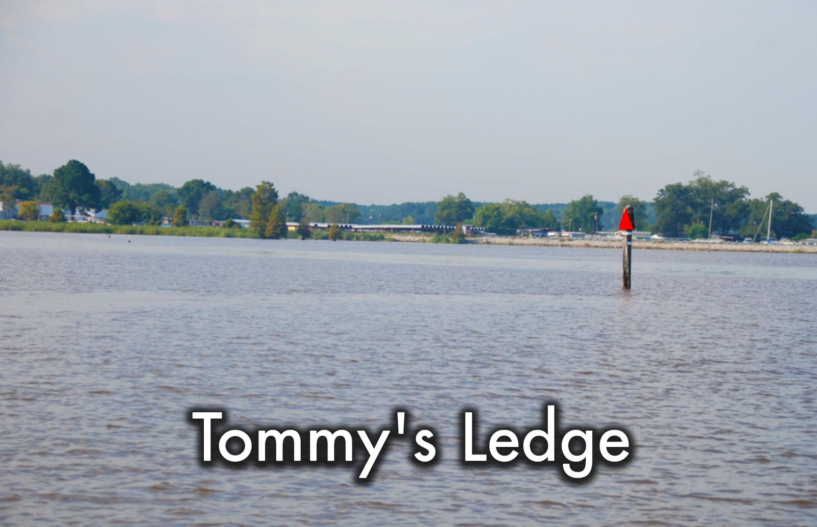
Tommy’s Ledge
N32 30.759 x W89 55.898
Another bend in the Pearl River channel, this location is smaller in stature, and notoriety, but fishes similar to the Welfare Hole. The outside bend of Tommy’s Ledge is adjacent to the entrance to the channel that leads to the public boat ramp at Goshen Springs and Tommy’s Trading Post.
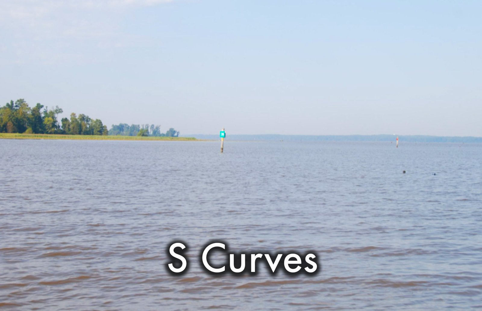
S Curves
N32 29.514 x W89 57.657
With the exception of the 43 bridge, all of these hotspots so far as either trolling or jigging spots. You may go another way in the S curves, as crappie may congregate on either the inside or the outside bend of this spot and are just as likely to be found out in the channel chasing baitfish,
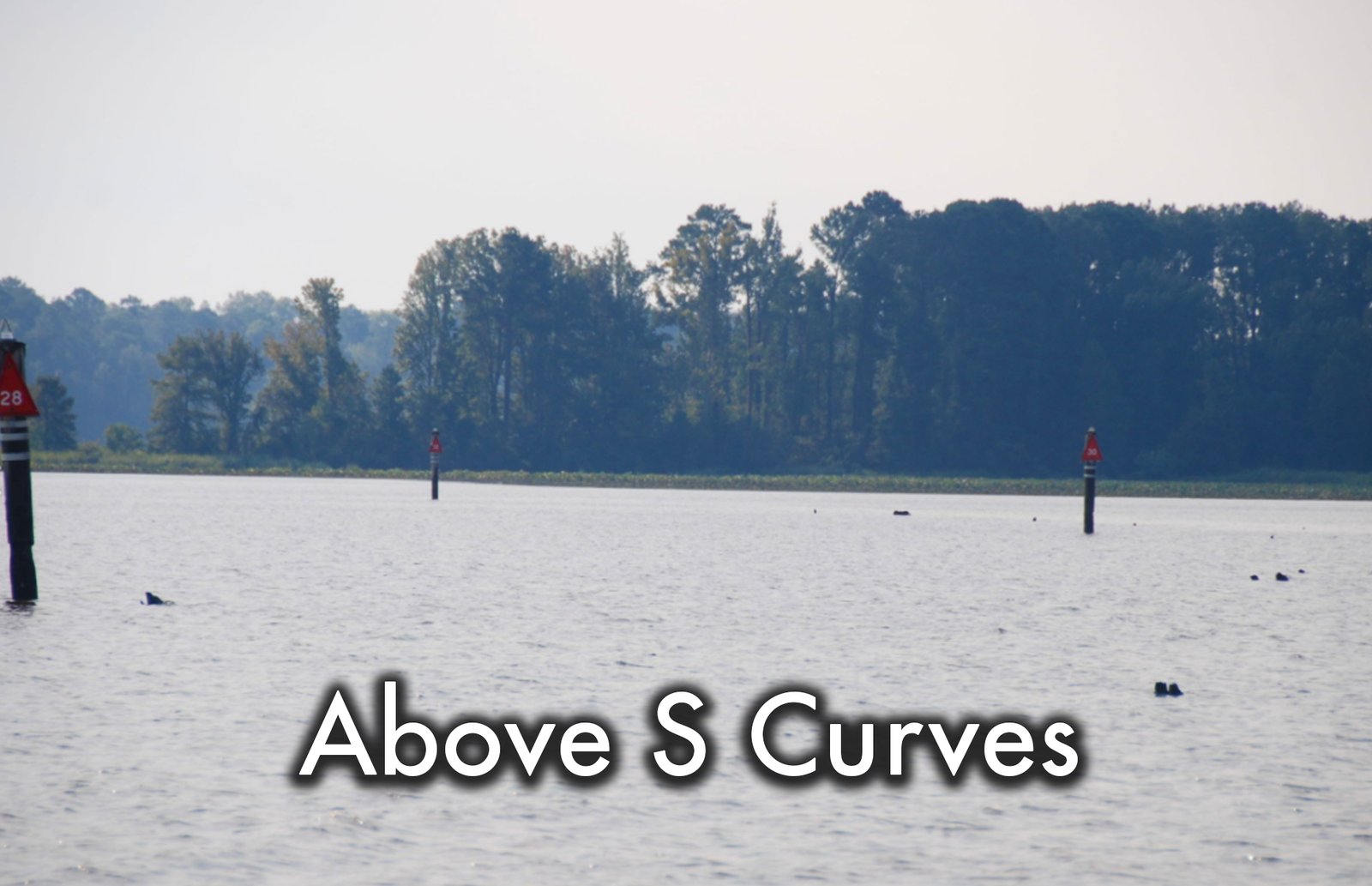
Ledge Above S Curve
N32 29.660 x W89 58.537
The ledge in this location runs from north to south, running diagonally from channel marker 29 to marker 30. There are stump fields on both sides of the channel that will hold crappie from now and through the spawn in the spring when crappie will move off the channel and out into the fields to spawn.
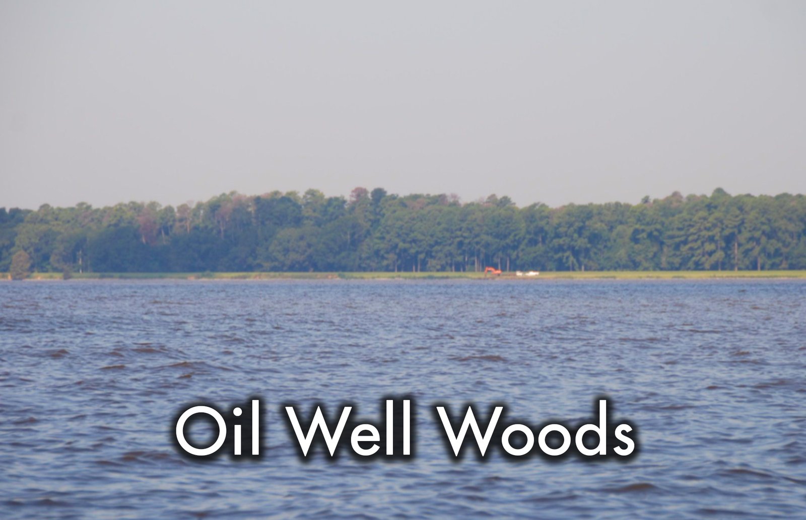
Oil Well Woods
N32 29.637 x W89 58.537
The Oil Well Woods spot is a creek channel that runs off the Pearl River channel and winds back through a stump field that was the original Oil Well Woods but is now associated with the surrounding area on the east side of the reservoir.

Saddle Bag
N32 29.709 x W89 59.251
Before the former governor of Mississippi had a major man-made lake named for him, the ground beneath Ross Barnett Reservoir was generally swampy land dissected by the Pearl River. Like most lowland rivers, the Pearl would occasionally change course, leaving an oxbow in her wake. The Saddle Bag spot is one of those old oxbow lakes of the Pearl.

Big Lake South
N32 30.403 x W89 58.566
Like Saddle Bag, Big Lake is a great place to target crappie when there is a lot of current flow in the main channel. Big Lake is a large area, and the whole area can be productive but difficult to access. A look at the map may make this statement questionable, but on the water, someone new to Barnett can quickly tear up a boat or at least a lower unit by trying to run across the upper part of the lake.

Big Lake North
N32 30.906 x W89 58.090
The unique feature with the Big Lake area is that it has sort of an entrance, on the south end, and an exit, on the north end. To set up a nice trolling run, put your poles at the last spot, Big Lake South, and troll back to this spot, Big Lake North. The distance between the south and north spots is well over 1,000 yards, at least a half mile.


